
The Big Trip: The Badlands
- Craig Lloyd-Smith

- Mar 2, 2007
- 3 min read

The wind is so high, it’s causing dust devils all over the place—pink-brown whirlwinds of dust, dancing like small tornadoes, dancing against the blue sky.
In one place, the dust devil was the width of an entire field, and was so thick it looked like a dust storm, albeit a stationary and tornadic one.
There were other signs I was entering the Real West as well. Leaves and husks from dried corn would blow across the road as if they were birds, skittering across like animals, but lifeless ones. Small tumbleweeds are appearing. Buffalo burgers are served at all the rest stops. And there are actual signs, too: Lakota Museum. Lower Brule Tribal Headquarters. Week’s Ponderosa Café—We Still Cook! Map of the Black Hills—Wall Drug.
Women in these parts drive trucks, wear jeans and flannel, sport short-cropped hair, and have tough, masculine personas. You might call them heterosexual lesbians. An actual lesbian couple I ran into at a gas station were an older couple from Michigan, one very butch and the other very femme, heading to Mount Rushmore and then down to Atlanta. They’ve allowed themselves six weeks for the journey.
Kadoka, South Dakota, holds an International Outhouse Race each year: two people carrying a real privy, with a third person inside. I’m so sorry I missed it! (This should not be confused with the Great Klondike International Outhouse Race held annually in Dawson City in the Yukon.)
The land itself is changing now. On the right was a rocky patch in the middle of the plains. On the left you could see a butte, then a cavern that appears out of nowhere, a sudden great void of earth. Prairie dogs are spotted frequently. And the accents have changed from the comical Minnesotan/Dakotan inflection with its Scandanavian influences to a decidedly Western twang, a cowboy lilt to the speech.
The badlands are amazing.
Breathtakingly beautiful. I’m not yet in the national park, but I can see why the Lakota called these mako sica, “bad lands”: desperately arid terrain (but when it does rain, the flash floods sweep away everything in their path); land extensively eroded by wind and water; difficult to walk on, with its steep slopes, loose soil, and clay; and canyons, ravines, gullies, and hoodoos all around.
But they are spectacular to look at. In bright sunlight, the colors alternate from blue-black coal striations to bright clay to red scoria (porous fragments of hardened volcanic lava). At dusk, the landscape turns impossible hues of gold, pink, and purple.
Once again I see that I’m about a week behind the tourists, a realization that makes me very happy indeed. There are still a good number of visitors, though, but at least they are as amazed as I am at the rock formations that leap up at you out of nowhere. Primitive, dramatic, exciting. Well, nearly as amazed. They’re driving 45 miles an hour, and I want to crawl along to drink in the scenery.
I finally arrive in Wall, South Dakota, “Window to the West.” It’s named Wall because the town sits on a wall of the badlands (a wall is where the land gives way to cavern). Its singular claim to fame is, of course, the Wall Drug whose signs have been such a wretched blight on the landscape for the past 400 miles. Now the town of Wall boasts “endless entertainment opportunities for old and young alike” with “fine dining, swimming, golf, tennis, and shopping.” And, of course, an 80-foot dinosaur marking the highway exit. I saw a dusty, run-down town boasting nothing at all except for the Wall Drug tourist trap.
The final Wall Drug sign, 80 feet from the establishment, is moving. It has a man on a bucking bronco; a bear with a stewpot on its head, waving its arms frantically to get the stewpot off; another bear reaching for the chuckwagon food, with the cook swinging a frying pan; and a cowboy on horseback, gun pointed in the air, with the horse rearing up. All of them moving at once.
Wall Drug at last. Of course nothing could live up to 400 miles of hype. I wanted it to be more charming than it was, or failing that, tackier. I go through their “Wall Mall,” an extensive series of souvenir stores linked, oddly, by boardwalks, forgo their famous free ice water because there was a long line, and decide to skip their café. Besides, I wanted to get back to the badlands themselves.
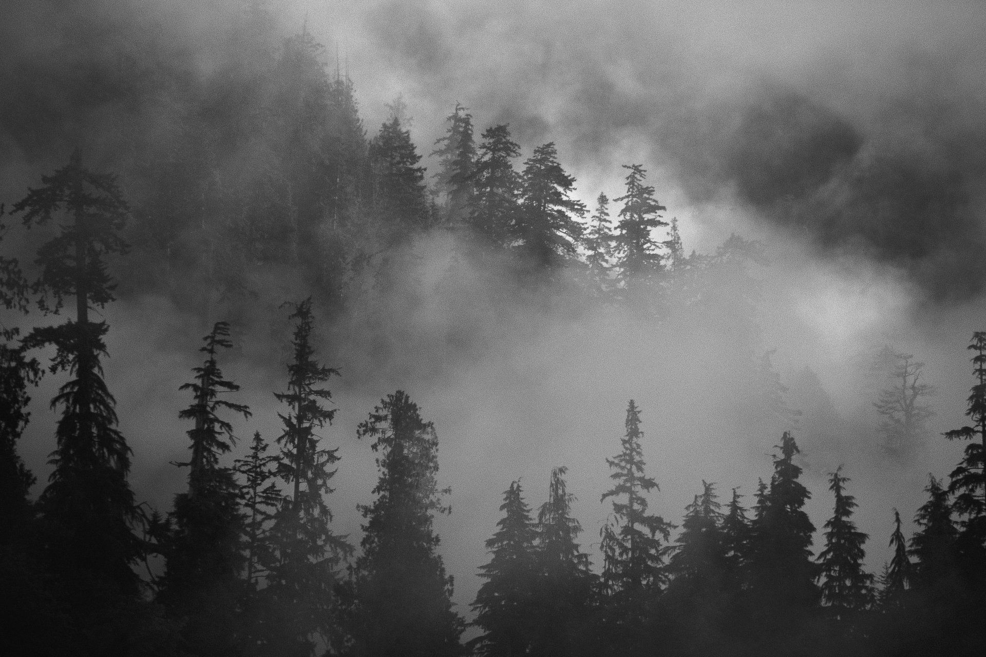
I took tons of photos, none of which really captured the glory of the place (the one above is not mine, but was taken by Danny Burk, a gifted nature photographer). Badlands National Park featured a very nice, carefully managed drive with many overlooks, subtle enough that you didn’t feel that you were ruining the landscape by your very presence. The rock formations were haunting; I wanted to stay there, to drink in more and more of it, to understand its message.
After I left the national park, I decided to have dinner in Rockerville before seeing Mount Rushmore, so I headed toward the Black Hills. Immediately I see a coyote lying dead on the side of the road. The first coyote I’ve ever seen, and it’s dead.
Then, a little further on, a dead whitetail deer.
Perhaps I should have taken them as omens.
Next episode: Terror in the Black Hills


Comments